Vilnius Circular Trail


The 100-kilometre trail was developed in consultation with members of the Lithuanian Orienteering Federation and specialists from the Chief City Architect’s Town Planning Department. Most of it is off-road instead of asphalt. This is much healthier for those with problems with their joints, as the soft ground makes it possible to feel more comfortable while running or walking.
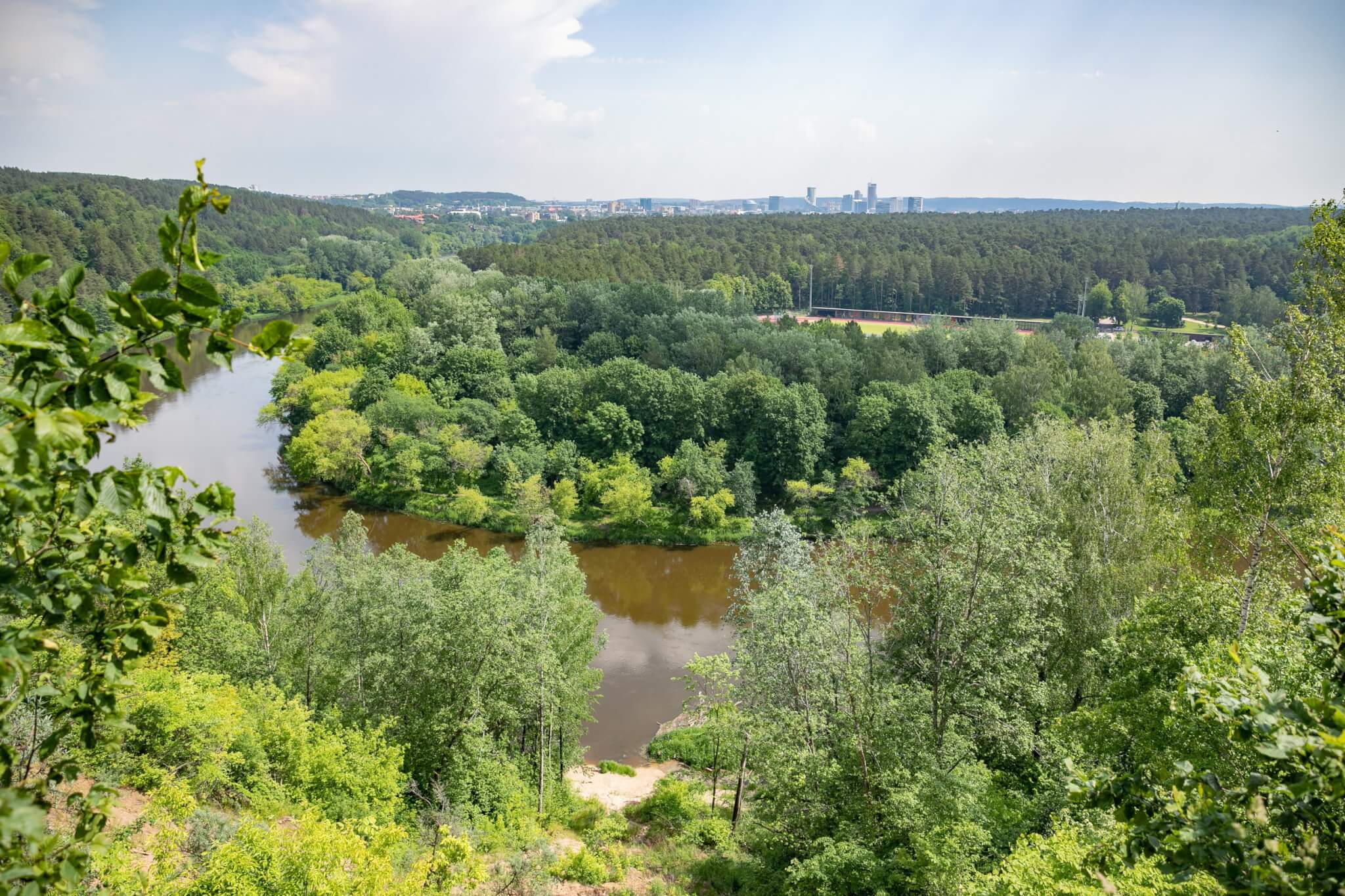
Around 17 km of the route passes through Verkiai, another 8 km through Sapieginė, Olandų Street (Table Hill), Užupis, another 20 km through Belmontas Forest, past the A. Pushkin Museum, and on to Burbiškės, a 20-kilometre stretch through Burbiškės to Lazdynai Bridge, another 12 km from Lazdynai to Ozas Street, and from Ozas about 10 km to Verkiai.
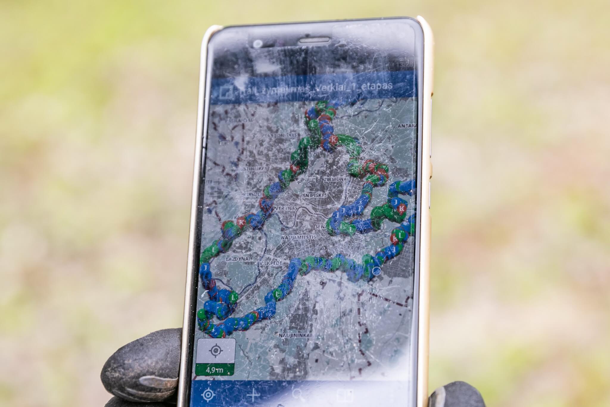
Runners and active leisure enthusiasts can open a map of the route in the ‘Explorer for ArcGIS’ mobile app, and the route is published on ‘maps.vilnius.lt’ interactive map, under the ‘leisure’ topic heading. Enthusiasts can download a .gpx data package, which is easy to use on smartwatches or phones. The route is also available on the ‘#walk15’ mobile app.