Paupys - Neakivaizdinis Vilnius
Eiti prie pagrindinio turinio
Neakivaizdinis Vilnius Neakivaizdinis Vilnius
Vilnius Districts studies

Paupys

The harmony between old and new in historic Paplauja

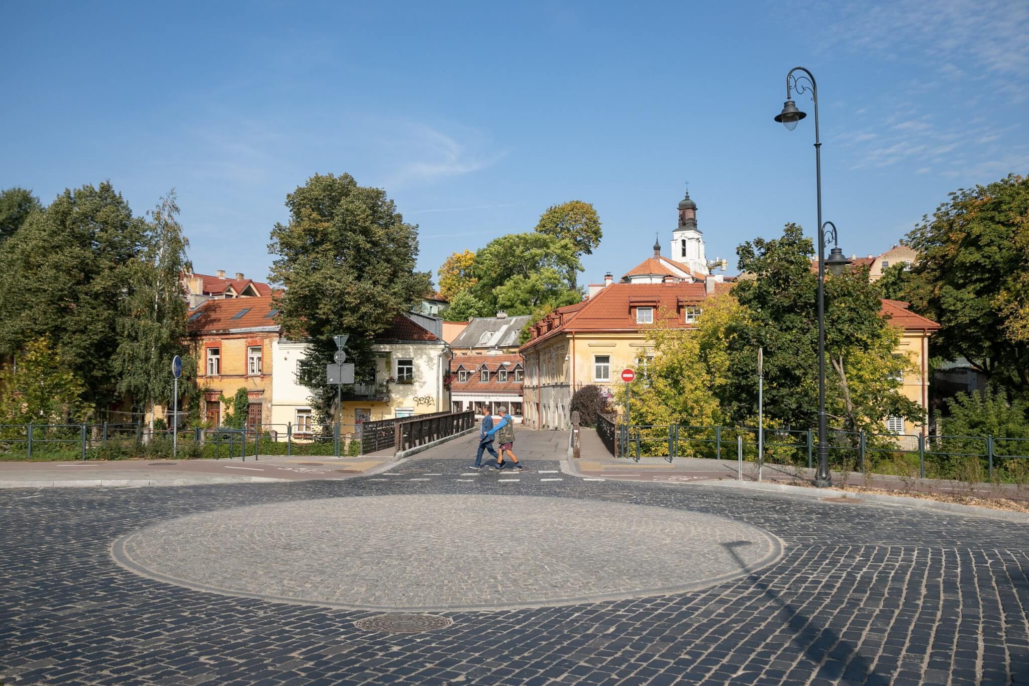
Until 1939 Paupys was called Paplauja, because this water-worn ‘canyon’ is constantly washed by the River Vilnia from the north, and springs from the south. After the dismantling of the Vilnius defensive wall at the turn of the 18th and 19th centuries, the rediscovered Paplauja turned out to be a very convenient place for merchants, industrialists, and craftsmen from various nations to live.

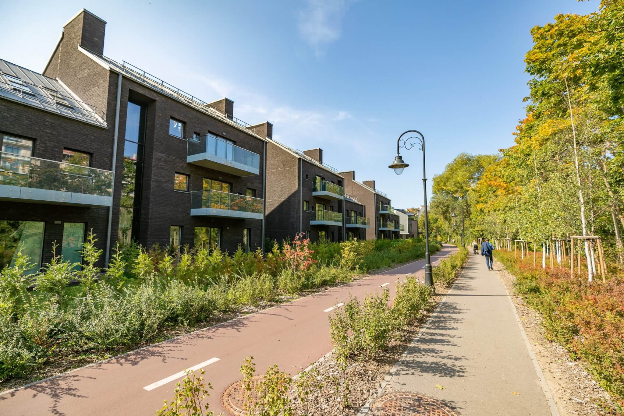
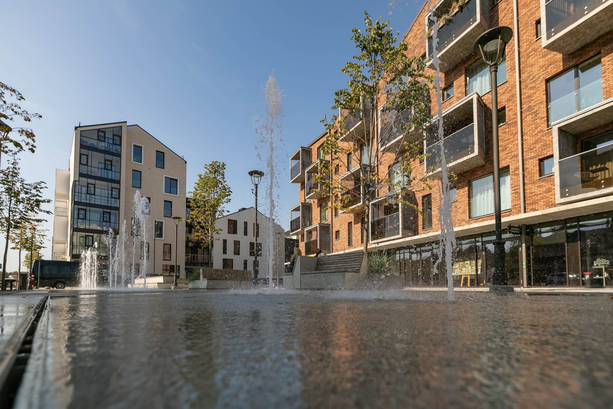
This district can be considered the first industrial district of Vilnius, as it had a high concentration of factories.  Until the Second World War, it was an area densely inhabited by the Jewish population. Now most traces of industry have disappeared, and Paupys is a green, vibrant, and surprising area. Let’s take a look around?

What will you learn / see on this route?

  • Where did the missionaries cultivate their gardens?
  • What industries were most popular in the neighbourhood?
  • Where is the oldest bridge over the River Vilnia?
Start location

Onos Šimaitės g.
Near the Missionary Realm

Duration
1.30 h Without going inside
Distance
2,20 km
Means of travel
On foot
Terrain
Easy
Pet friendly
Additional information

The terrain is not flat, so the best way to explore is on foot. Uphill and downhill slopes are navigable by wheelchair or pushchair. Wheelchair users and those with pushchairs are advised to take Onos Šimaitės g. to Paupio Bridge at the beginning of the route, as there is no convenient access to Kūdrų Park. The biggest downhill slope is between the Sekmininkų and Vilnia path, so you can go return along Paupio g. and take the exit by Paupio market, past the industrial fountain. Krivūlės g. is also unpaved and the surface is not smooth, so it can be difficult to navigate with wheeled mobility equipment or pushchairs. The Vilnia trail near the Vilnia is fully adapted for wheelchair users.

Route by Asta Cicėnienė; Photos: Aušra Cicėnienė, Saulius Žiūra, and Vytautė Ribokaitė

1. The Missionary Realm

The Sanguškos Manor, situated on a picturesque hill, was very suitable for the missionaries who…

2. Tymo Quarter

The Tymo Quarter was located between the Užupis and Paupis Bridges. Now only Tymo Market remains,…

3. Paplauja Bridge

Paplauja Bridge, the metal truss bridge constructed in 1882, is the second oldest metal crossing…

4. Former beer and electricity metering production area

In 1870 I. Lipskis founded a brewery, which later turned into both a beer and spirit factory –…

5. Swiss Garden

At the end of the 19th century, the brewer I. Lipskis had created an entertainment area for the…

6. The Fur Zone

In the middle of what is now Paupio Street, a building of impressive architecture designed by M.…

7. Krivūlės Street

Krivūlės street was called Paupio Alley during the interwar and Soviet times. It was the site of…

8. The Pentecostals

In 1896, Vikentas Tučas, who came to Biržai from Bauska, began to proclaim at a gathering for young…

9. The Vilnia Trail

Vilnius City Municipality, having created the conditions for the impressive conversion from…

10. Homestead development

If it wasn’t for the former factory buildings looming in the distance, you would think you…

11. Bridge over the Vilna

The 26m bridge was renovated in January 2020. Until then, a bridge built during the Soviet era…

12. Paupio Square

For a long time, the inhabitants of Paupys had the only one spacious place – Kūdrų Park. However,…