Antakalnis - Neakivaizdinis Vilnius
Eiti prie pagrindinio turinio
Neakivaizdinis Vilnius Neakivaizdinis Vilnius
Vilnius Districts studies

Antakalnis

One of the oldest suburbs of Vilnius on a hill: from a noble palace to the home of the first trolleybuses

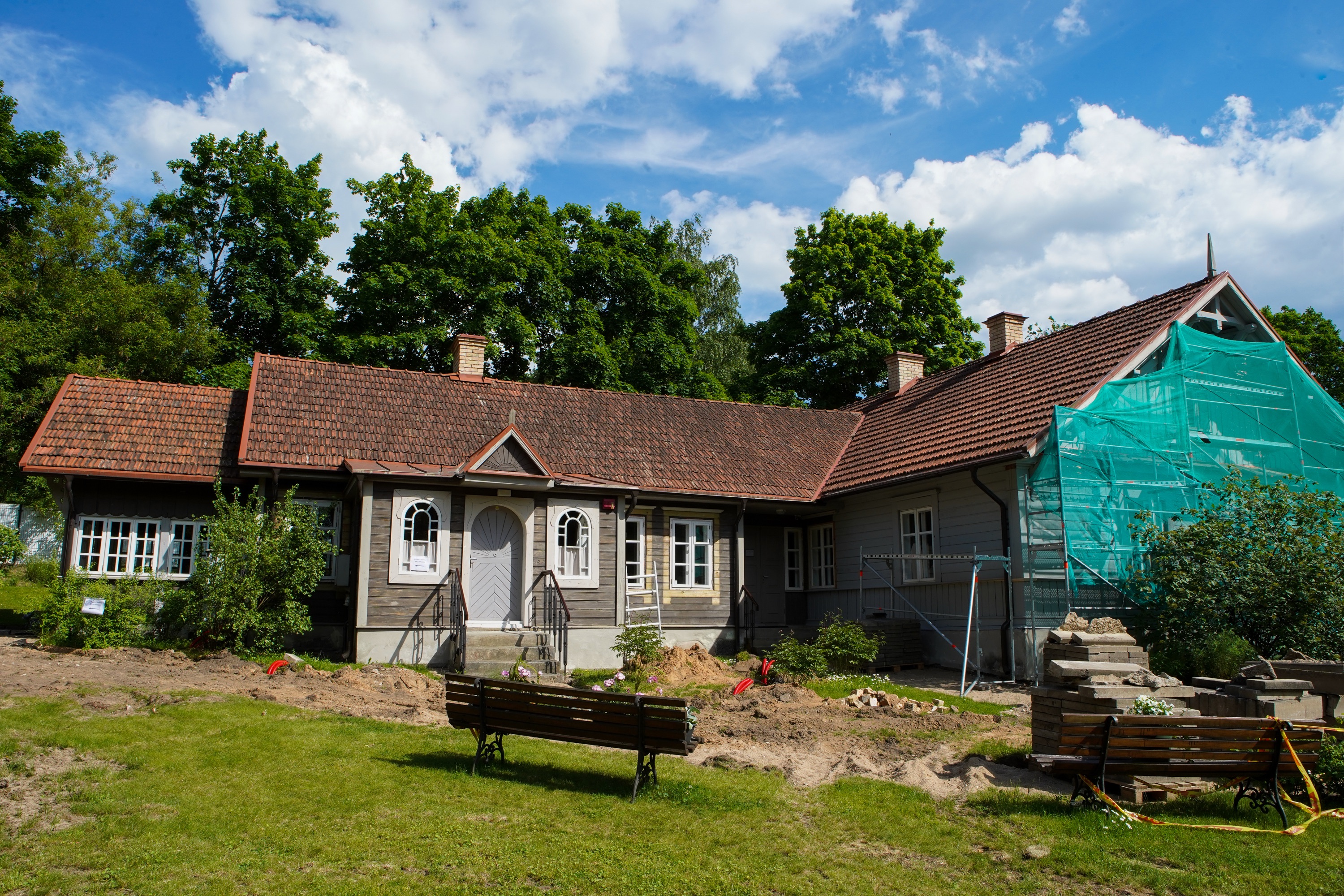
Not every district of Vilnius, even those near the centre, can be called historic, but Antakalnis can claim this right.

It was formed in a narrow stretch between the Neris River to the west and the hills to the east, along the northern route to Nemenčinė, Švenčionys, Daugavpils, and St. Petersburg. The topography determined that, if it is not the largest, it is undoubtedly the most elongated historical suburb. According to historians, the name of Antakalnis is of Lithuanian origin and comes from the term ‘on that hill’ or ‘on the hill’. The art historian Vladas Drėma called Antakalnis the most beautiful suburb of Vilnius, and perhaps the nobility also thought the same, appreciating the location for its close proximity to both the city centre and nature.  The most ornate architectural ensembles that have survived to this day date back to the end of the 17th century. Later historical epochs also left their mark in the form of the trolleybus park, an impressive cemetery, and the House of St. Faustina’s – a beloved favourite with pilgrims. Although today Antakalnis officially begins with the roundabout at Olandų Street, historically the beginning of the suburb was considered to be the bridge over the river Vilnia, and the end – the Grand Duke’s residence in Viršupis.  However, it has not yet been possible to determine the exact spot where the Viršupis manor house was located during the reign of Sigismund Augustus.  The northern part of Antakalnis had another name until the Second World War – Pośpieszka in Polish or ‘Skubutė’. Some say that this name is due to the famous roadside tavern that stood here, where guests came for a short time to break up their journey, while others say that it was due to the variety of fast-ripening potatoes brought by the Oginskis family.

What will you learn/see on the route?

  • What is the purpose of the bunkers on Šilo Street?
  • Where was the first Lithuanian art exhibition held?
  • Where was Tauro Hill in Antakalnis?
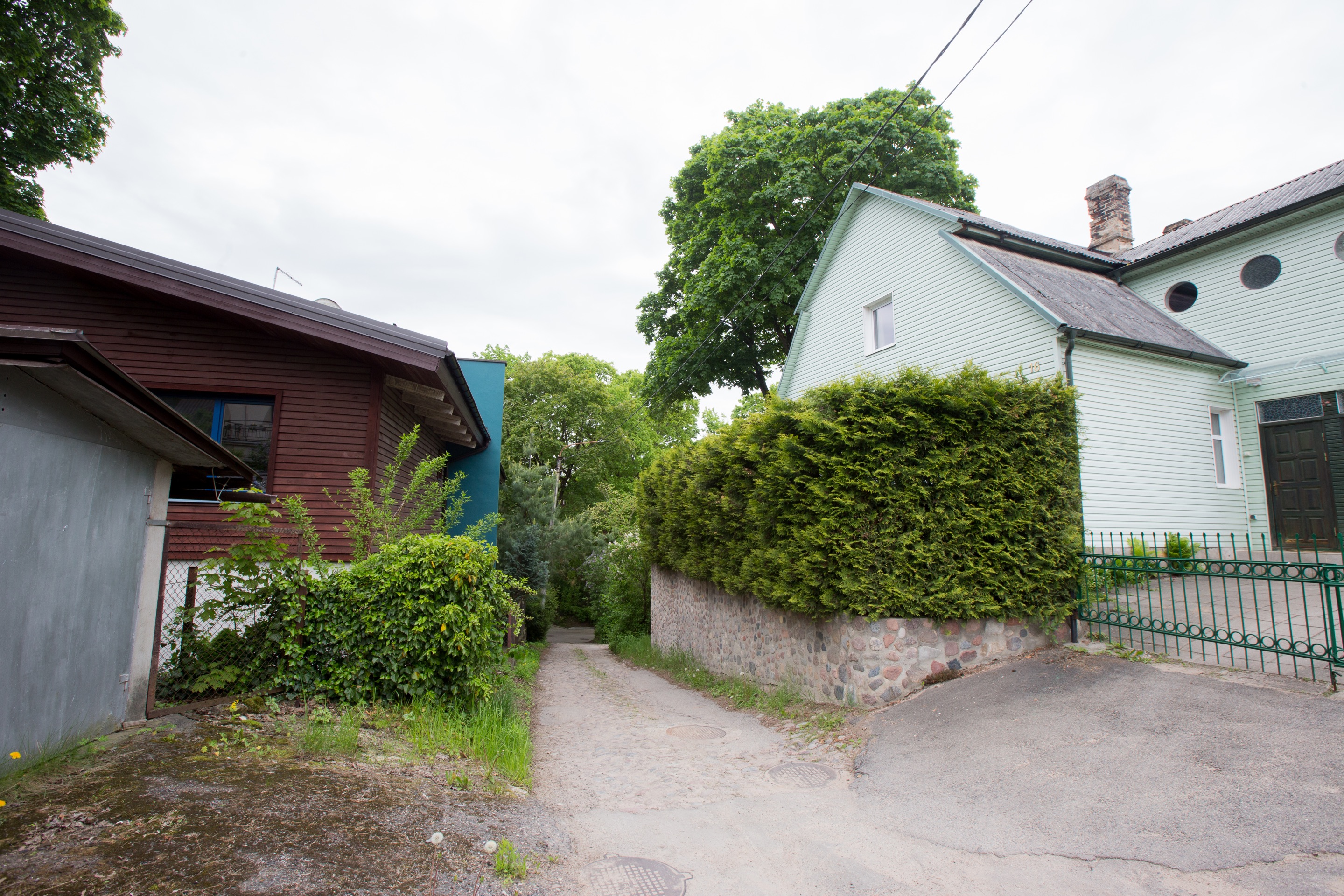
  • What’s special about a block of houses by the roundabout?
Start location

Sluškų Palace

T. Kosčiuškos g. 10

Duration
2.30 h Without going inside 4 h 00 min. With going inside
Distance
8,00 km
Means of travel
On foot
Terrain
Challenging
Pet friendly
Additional information
  • Due to the uneven terrain as part of the route runs along paths in the forest, this route is not recommended for disabled people or parents with children in pushchairs.  
  • Pet friendly, apart from the indoor parts of the route For moral reasons, visiting Antakalnis cemetery with dogs is not recommended.

Route by ‘Gatvės gyvos’; photos by Vytautė Ribokaitė, ‘Gatvės gyvos’

1. Sluškų Palace

“I pushed back the mountains, calmed Vilija’s whirlpools, I rose like a victor above the…

2. Modernist Quarter

When we think about modernist architecture, we mostly hear about Kaunas, but this style also had a…

3. Old Antakalnis

In the cheerful streets named after the seasons and the Sun (Pavasario, Vasaros, Rudens and…

4. The Church of Sts. Peter and Paul the Apostles

In the past, there were speculations that the hill may have been the site of a temple of the pagan…

5. Vileišių Palace

Originally from a family of farmers from the Pasvalys area, Petras Vileišis went to St Petersburg…

6. Sapiegų Palace

The majestic ensemble in Antakalnis, as well as the one by the Sluškos family competitors, was…

7. Antakalnis Cemetery

In the early 19th century, the Sapiegų Palace became a military hospital, and there was a need for…

8. Bunkers

When the Polish government occupied the Vilnius region in the interwar period, it was decided to…

9. The House of St. Faustina

Until the Second World War, a convent of the Sisters of Our Lady of Mercy operated on the site, but…

10. The trolleybus depot

The first trolleybus depot in Vilnius was located in Antakalnis. In 1956, the first 7.8 km long…

11. The Hydroelectric power station builders’ colony

Imagine a hydroelectric power station at Valakampiai. What would this area of Vilnius look like…

12. Coloured springs

If we go back to pre-war times, we could safely say that we are in Pospieška – that’s…